Two eyes better than one: An innovative strategy for precision agriculture
The agricultural field is a testbed for rapidly developing technologies involving unmanned aerial vehicles (UAVs) and image processing tech.

[Dec 17, 2021: Nanjing Agricultural University, The Academy of Science]
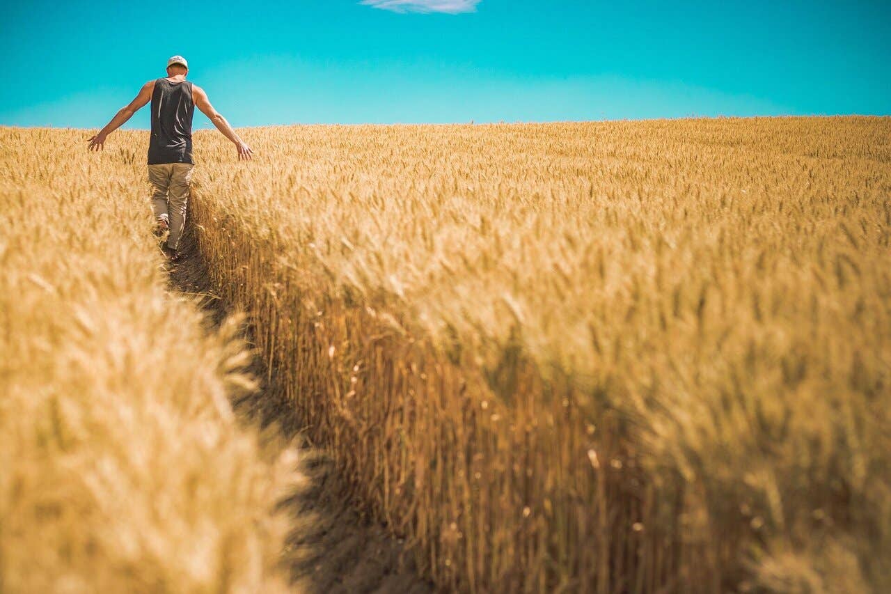
The agricultural field is a testbed for rapidly developing technologies involving unmanned aerial vehicles (CREDIT: Creative Commons)
The agricultural field is a testbed for rapidly developing technologies involving unmanned aerial vehicles (UAVs) and image processing techniques, which are quickly becoming indispensable tools for efficient precision agriculture and plant phenotyping (assessment of observable plant traits). Using aerial images obtained from UAV-mounted multispectral cameras, experts can quickly obtain useful information such as plant height, chlorophyll and nitrogen content, and the presence and extent of plant diseases.
However, in spite of the tremendous potential of UAV-enabled applications, there are some bottlenecks that limit their efficiency and accuracy. As devices that rely on small batteries as their energy source, UAVs have a rather low autonomy, and the time spent recharging or battery swapping can severely hinder their data throughput for sufficiently large fields. Currently, this problem can only be addressed at the expense of either spatial resolution or the quality of the 3D reconstruction of the target surface.
To overcome this tradeoff, UMT CAPTE team from INRAE and HIPHEN, France, , came up with a new image acquisition strategy. As described in their recent paper published in Plant Phenomics, their approach consists in using (at least) two cameras with different focal lengths mounted on the same UAV. Using adequate image processing algorithms, the researchers managed to co-register (align and adjust) images from different spectral bands, including those captured using different focal lengths and at slightly different angles. In turn, this allowed them to produce a 3D dense point cloud of the soil and crops, which they then used to create an “orthoimage” (an aerial photograph geometrically corrected for uniform scale) of the entire field and extract plant heights.
The main benefits of using this “double swath configuration” with two different focal lengths are manifold. First, the amount of images required to cover the entire target area for a given minimum spatial resolution and predetermined overlap is essentially halved. Thus, not only flight time but also processing time are reduced by a factor of at least two. In addition, the experimental results showed that the double swath approach was better at “georeferencing,” or mapping the internal coordinates of an aerial photo with the corresponding coordinates in physical space. “We found the best improvement in georeferencing to be for the Z dimension; about 6 cm,” states Dr. Li. “This was mainly due to the availability of larger view angles.”
Related Stories
Finally, this particular study also yielded valuable insight into how multispectral cameras can be efficiently leveraged for plant height calculations as well as the importance of the quality of point clouds for this purpose.
Note: Materials provided above by Nanjing Agricultural University, The Academy of Science. Content may be edited for style and length.
Like these kind of feel good stories? Get the Brighter Side of News' newsletter.
Tags: #New_Innovations, #Research, #Agriculture, #Farming, #Science, #Technology, #The_Brighter_Side_of_News
Joshua Shavit
Science & Technology Writer | AI and Robotics Reporter
Joshua Shavit is a Los Angeles-based science and technology writer with a passion for exploring the breakthroughs shaping the future. As a contributor to The Brighter Side of News, he focuses on positive and transformative advancements in AI, technology, physics, engineering, robotics and space science. Joshua is currently working towards a Bachelor of Science in Business Administration at the University of California, Berkeley. He combines his academic background with a talent for storytelling, making complex scientific discoveries engaging and accessible. His work highlights the innovators behind the ideas, bringing readers closer to the people driving progress.


