Earth’s largest flood refilled the Mediterranean Sea five million years ago
The Zanclean Megaflood ended the Messinian Salinity Crisis, reshaping the Mediterranean with Earth’s largest known flooding event.

New research uncovers how the Zanclean Megaflood refilled the Mediterranean, ending a desolate era and leaving lasting marks on Earth’s geology. (CREDIT: CC BY-SA 4.0)
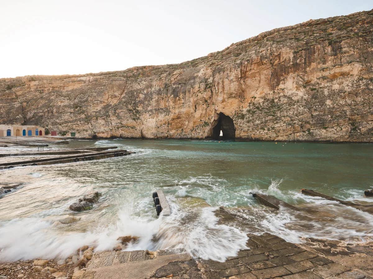
Between 5.97 and 5.33 million years ago, the Mediterranean Sea became a basin of desolation, cut off from the global ocean during what is known as the Messinian Salinity Crisis (MSC). This period saw the sea largely evaporate, leaving behind vast salt flats and massive deposits of evaporitic rocks.
These salt deposits accounted for about 5% of the global ocean's salts, a process made possible by intermittent inflows of Atlantic waters and river runoff. This transformation reshaped the Mediterranean’s landscape, setting the stage for one of the most dramatic flooding events in Earth’s history—the Zanclean Megaflood.
A Cataclysmic Flood Unveiled
The end of the MSC was long thought to be a slow process, with the Mediterranean refilling gradually over 10,000 years through a waterfall at the Strait of Gibraltar. However, seismic data revealed an erosion channel stretching from the Gulf of Cadiz to the Alboran Sea, suggesting a sudden and catastrophic flood.
This event, known as the Zanclean Megaflood, was driven by overtopping Atlantic waters breaching a land barrier near modern-day Gibraltar. Estimates indicate the flood’s discharge ranged between 68 and 100 Sverdrups (one Sverdrup equals one million cubic meters per second) and lasted between two and 16 years.
At its peak, water velocities surged across the Sicily Sill, the submerged land bridge separating the western and eastern Mediterranean basins.
The scale of the Zanclean Megaflood surpasses any known flooding event on Earth, exceeding even the colossal floods of the Pleistocene era caused by melting ice sheets. Its discharge and velocity dwarf other historical and geological floods, making it a singular event in Earth’s geologic record.
Geological Evidence Across Sicily
Recent research led by an international team of scientists uncovered compelling geological evidence in Southeast Sicily, providing critical insights into this cataclysmic flood.
“The Zanclean megaflood was an awe-inspiring natural phenomenon, with discharge rates and flow velocities dwarfing any other known floods in Earth’s history,” said Dr. Aaron Micallef, lead author of the study and a researcher at the Monterey Bay Aquarium Research Institute.
Related Stories
The team identified over 300 streamlined ridges in a corridor across the Sicily Sill, consistent with erosion caused by turbulent, large-scale water flow. These ridges, composed of rocky debris and eroded material, align with the boundary between the Messinian and Zanclean periods, marking the flood’s occurrence.
The findings reveal how this immense flood reshaped the landscape, leaving indelible marks on the geological record.
Seismic reflection data, akin to a geological ultrasound, unveiled a “W-shaped” channel on the continental shelf east of the Sicily Sill. This channel connects the ridges to the Noto Canyon, a deep underwater valley in the eastern Mediterranean.
Acting like a funnel, the channel guided floodwaters over the Sicily Sill and into the eastern Mediterranean, further transforming the region’s geomorphology.
Professor Paul Carling, an emeritus professor at the University of Southampton and co-author of the study, explained, “The morphology of these ridges is compatible with erosion by large-scale, turbulent water flow with a predominantly northeasterly direction. They reveal the immense power of the Zanclean Megaflood and how it reshaped the landscape.”
Simulating the Flood’s Magnitude
Numerical modeling offered a glimpse into the Zanclean Megaflood’s dynamics. Simulations showed the floodwaters’ velocity reached up to 32 meters per second (72 miles per hour), carving deep channels and transporting material over long distances. As the flood progressed, it intensified, altering its direction and reshaping the seafloor.
This rapid, violent inflow replenished the desolate Mediterranean basin, transforming it back into a thriving marine environment. The chaotic sedimentary deposits left behind, including a 1,500 cubic kilometer deposit east of the Noto Canyon, attest to the flood’s force and scope.
Dr. Micallef highlighted the study’s significance, noting, “These findings not only shed light on a critical moment in Earth’s geological history but also demonstrate the persistence of landforms over five million years. It opens the door to further research along the Mediterranean margins.”
Despite the compelling evidence, the Zanclean Megaflood hypothesis remains subject to debate. Some alternative scenarios suggest the Mediterranean’s refilling may have involved additional sources, such as overspills from the Paratethyan region, followed by Atlantic inflows. Other models propose that the basin’s desolation was less severe, requiring less dramatic flooding to restore marine conditions.
Validating the megaflood’s narrative requires further exploration of its erosional and depositional features. Access to key geological sites, many of which remain inaccessible or inadequately studied, is crucial. Additionally, high-resolution topographic and geophysical data, along with robust age modeling, will refine our understanding of this extraordinary event.
This study, supported by organizations including the National Geographic Society and the David and Lucile Packard Foundation, represents a pivotal step in unraveling the mystery of the Zanclean Megaflood.
Published in Communications Earth & Environment, it provides a foundation for future research into one of the largest flooding events known in Earth’s history.
Note: Materials provided above by The Brighter Side of News. Content may be edited for style and length.
Like these kind of feel good stories? Get The Brighter Side of News' newsletter.
Joseph Shavit
Head Science News Writer | Communicating Innovation & Discovery
Based in Los Angeles, Joseph Shavit is an accomplished science journalist, head science news writer and co-founder at The Brighter Side of News, where he translates cutting-edge discoveries into compelling stories for a broad audience. With a strong background spanning science, business, product management, media leadership, and entrepreneurship, Joseph brings a unique perspective to science communication. His expertise allows him to uncover the intersection of technological advancements and market potential, shedding light on how groundbreaking research evolves into transformative products and industries.


